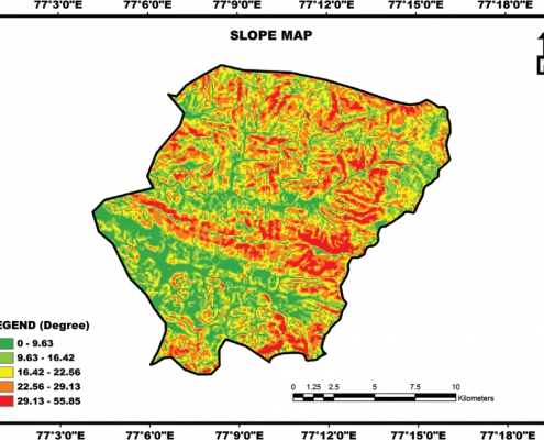
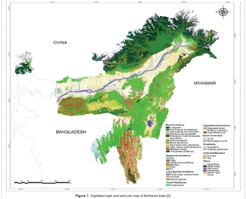
GIS application in forest management:
In forest management, Change detection in the forest can be done using Remote Sensing and GIS. Prediction of how the forest will expand over years, how the flora and fauna will develop, if wildlife can sustain the forest development process? etc. Information about our these natural resources are of high value as forests are one of the most conservative thing in the society which demands high protection and planning.


