Our Services
Since inception, we have tapped into the most advanced technologies to create innovative solutions across industries and generate smarter systems that fits into your requirement. From agriculture to mining, transport to water distribution, we’re making a better world, arrive sooner.
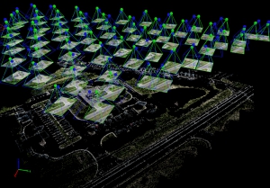
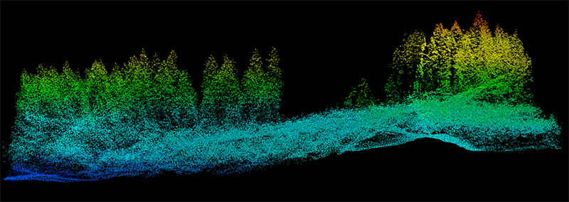
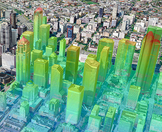
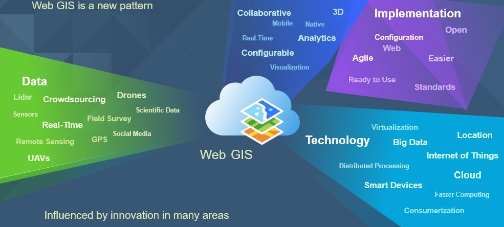
Adepto provides numerous GIS services to its clients all over the world. The GIS services rendered by ranges from visualization of geographic data, analysis of spatial relationships, and efficient data management. The GIS data conversions allow data from different sources to be merged in one common format, which allows for easy access, analysis and utilization. We have helped lot of organizations from multiple industries of Remote Sensing and GIS in last decade.
Our commitment to remain the world leader in the field of Geomatics have encouraged us to tap into the most advanced technologies to create innovative solutions across industries thereby making smarter systems and creating more intelligent world.
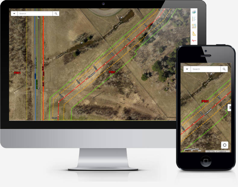
Our expertise and experience in integrating GIS, CAD and Global Positioning Systems (GPS) services, by using high-end GIS Mapping and GIS data conversions software, we assist the customers to produce contour maps, spatial maps, atlas maps, cadastral maps, thematic and zonal maps, landscape maps, and environmental maps for host industries such as mining and geology, utility, agriculture, petroleum pipelines, land information management etc.


